Property Search
Bristol area guide : Cliftonwood
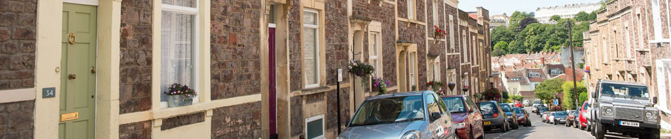
Cliftonwood
Postcode – BS8
Shopping – Cliftonwood is predominantly residential but only a short walk from Clifton and the Triangle, which both offer a vast selection of shops.
Schools – A short walk to Christchurch Primary School, Clifton High School and Clifton College.
Age of houses – Large Victorian terraces, many painted in bright colours – some of which you can see from Bristol’s harbourside, looking up at Cliftonwood to the houses on Ambrose Road and Clifton Wood Terrace.
Main roads – Jacobs Wells Road.
Main attractions – – Brandon Hill is a lovely park off Jacobs Wells Road, with the historic Cabot Tower in view.
Restaurants – the Lion Pub situated on Church Lane and the Hope and Anchor, situated on Jacobs Wells Road.
Little known fact – A medieval Jewish ritual bath, known as a mikveh, was discovered in 1987 in the former Hotwells Police Station bicycle shed, by the Temple Local History group. This is believed to be the origin of the name Jacobs Wells Road.
Population – Approx. 3000. The area is included in the population count of Clifton, as it is considered part of Clifton Ward.
Local transport – Cliftonwood is served by Clifton Down railway station on the local Severn Beach Line, and by frequent bus services from central Bristol. It has road links to the city centre and outer western suburbs, and across the Clifton Suspension Bridge to Leigh Woods in North Somerset.