Property Search
Bristol area guide : St Andrews
St Andrews
Postcode – BS7
Semi-suburban, St Andrews is similar in style to Bishopston. This area is centrally situated and popular due to its great location near to both the city centre and Gloucester Road. The area has grown in popularity over the past decade and is now sought after by many young professionals and families.
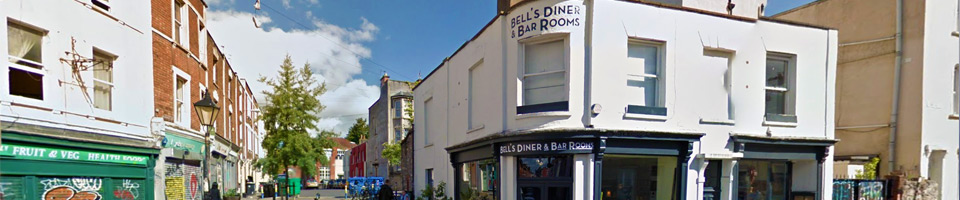
Shopping – St Andrews has good access to Gloucester Road and lies just 1.8 miles north of the city centre.
Schools – St Andrews Primary School and Sefton Park Infants.
Age of houses – The area was developed in the late 19th century as St Andrew’s Park Estate and consists mostly of large Victorian villas. Following some damage to the area during World War II areas including Cromwell Road and Belvoir Road underwent repair.
Main road – St Andrews Road.
Main attractions – St Andrews Park (known as the heart of the area) is a classic Victorian neighbourhood park. The park was created in 1895 and is home to events such as ‘Music in the Park’ during the summer and ‘Carols in the Park’ at Christmas.
Restaurants – Atomic Burger and Flour and Ash are both popular.
Little known fact – On 30 April 1941, during a night training flight, a Wellington bomber crashed in the park after hitting balloon barrage cables. There is now a memorial to this crash located within the park.
Population – Approx. 3,200.
Local transport – Frequent buses run to all parts of the city from Gloucester Road including services to UWE’s Frenchay Campus. There is also a local train service from Montpelier to Bristol Temple Meads, Clifton and Avonmouth, all on the Severn Beach Line.